India marks Arunachal Pradesh locations
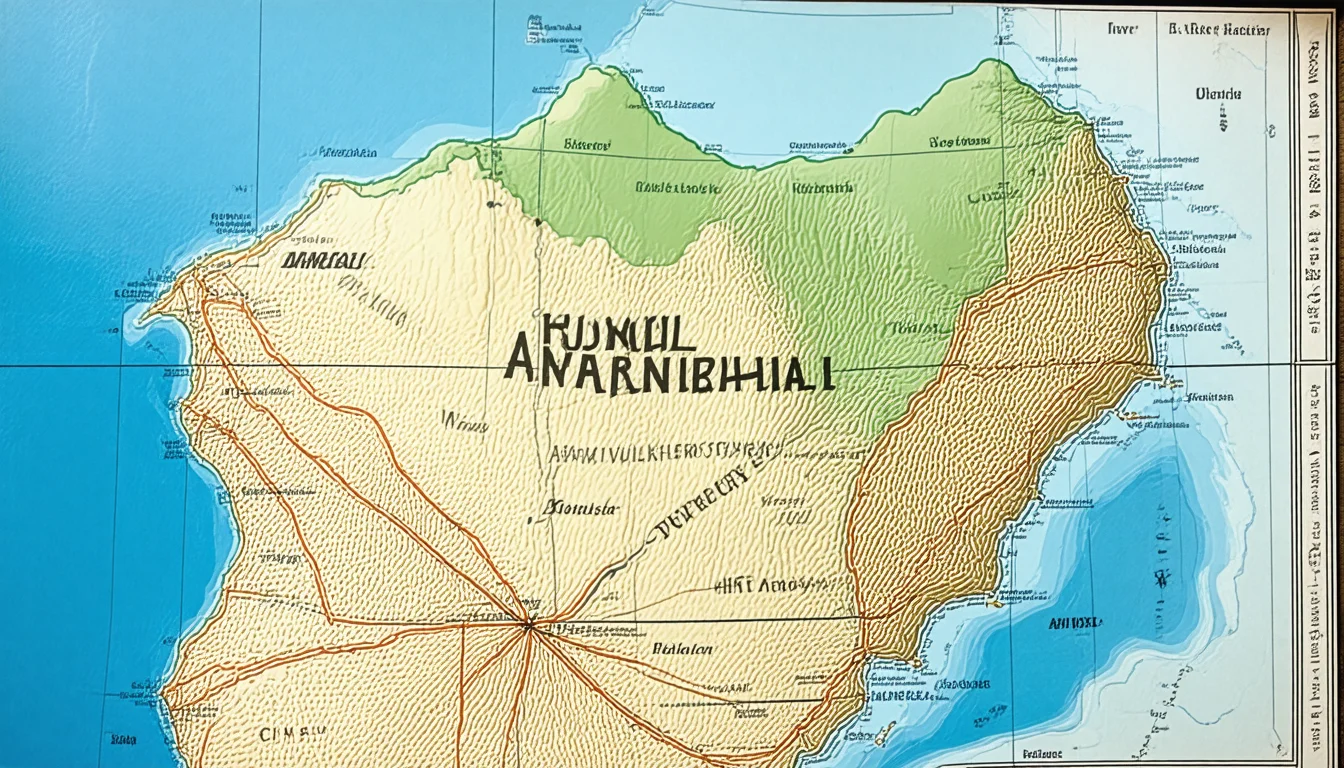
India has formally identified and marked 27 locations and geographical features in Arunachal Pradesh on official Survey of India maps. The Union Home Ministry said the exercise was carried out in consultation with the Arunachal Pradesh government and was intended to enable more precise identification of the locations and raise public awareness.
The list includes 21 land areas, four mountain passes, one lake and one memorial. Among the places named are Longju, Maja, Bisa, Dzo La, Riza La, Pukur La, Thag La, Sambho Sarovar and the Sher-e-Thapa Memorial.
Longju drew particular attention because it remains a politically sensitive site. The article says the village has been under Chinese control since the 1959 Longju incident, even though India continues to claim it as part of Arunachal Pradesh.
Key Events
- The Union Home Ministry announced that 27 places and geographical features in Arunachal Pradesh were identified on official Survey of India maps.
- The exercise was done in consultation with the Arunachal Pradesh government.
- The stated aim was to improve precise identification and public awareness.
- The list included 21 land areas, four mountain passes, one lake and one memorial.
- Longju was highlighted as the most sensitive location because it has been under Chinese control since the 1959 Longju incident while remaining within India’s claimed boundary.